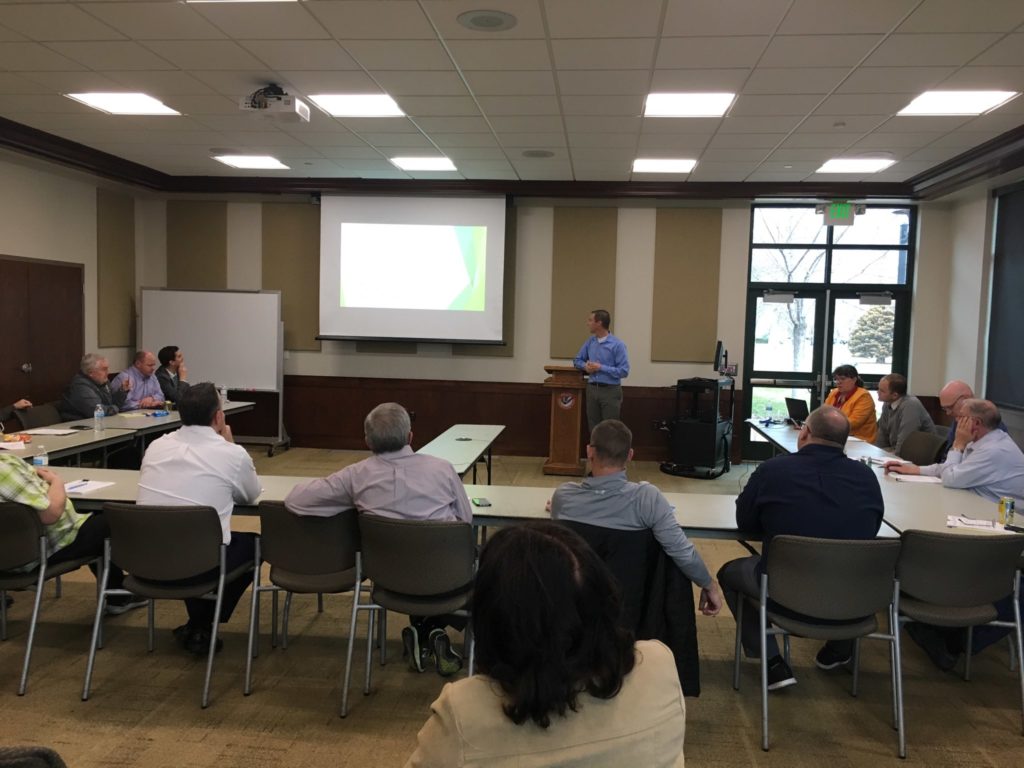
On March 12 Carrie Bennett and I made a presentation to the Springville City Council work session about the benefits of cycling and a few improvements we’d like to see over the next couple of years in terms of bike lines. Carrie went first and did a great job explaining why the city should promote cycling in our community–it provides exercise that leads to various health benefits, it promotes increased interaction with other people, it leads to better air quality and reduced vehicle congestion, and it is a fun family activty. In a nutshell, cycling improves the quality of life not just for those who do it, but for everyone in the community.
I then talked about the 1,000-miles campaign and various bike-related projects happening in neighboring cities, before moving to our specific proposals. Right now there are only 4.0 miles of bike lanes (not including off-street trails) in Springville, and UDOT will be constructing 1.4 new miles this year on the northern section of Main Street. 5.4 miles is not very much, but we consciously kept our proposals modest to avoid coming across as zealots unaware of the realities of small-city budgeting. Our strategy is to start small and hopefully build up a relationship of trust with the mayor, city council, and city staff. With that in mind, we proposed three segments totalling an additional 2.5 miles of bike lanes over the next two years, all of which are already identified in the Springville City Plan as needing bike lanes.
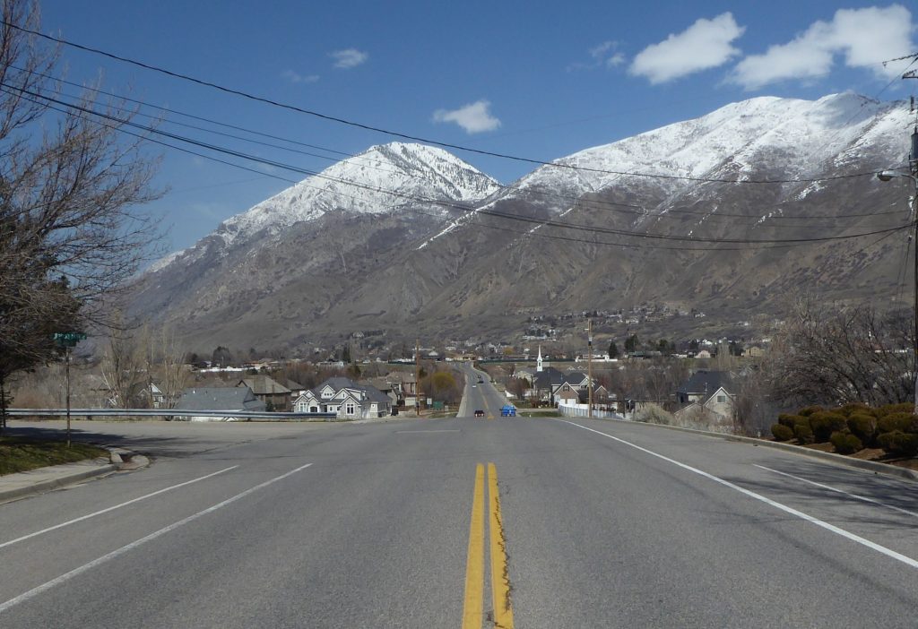
The first segment we proposed is the 0.5 miles of 1700 East between Canyon Road and the Mapleton City border. This road is heavily used by school kids and recreational riders and would connect the Canyon Road trail, the River Bottom Road bike lanes, and the Main Street bike lanes in Mapleton.
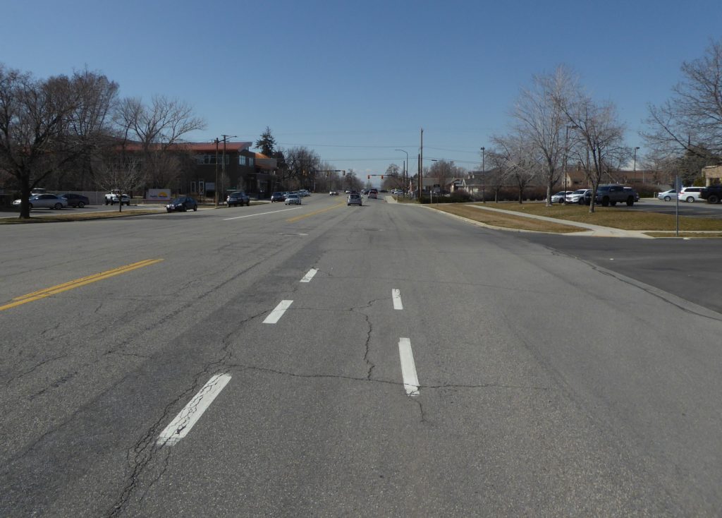
The next segment was just a short 1-block (0.1 miles) section of Center Street, between the library and the post office. Completing this and updating the bike route signs will connect the Center Street bike lane with the Main Street bike lane.
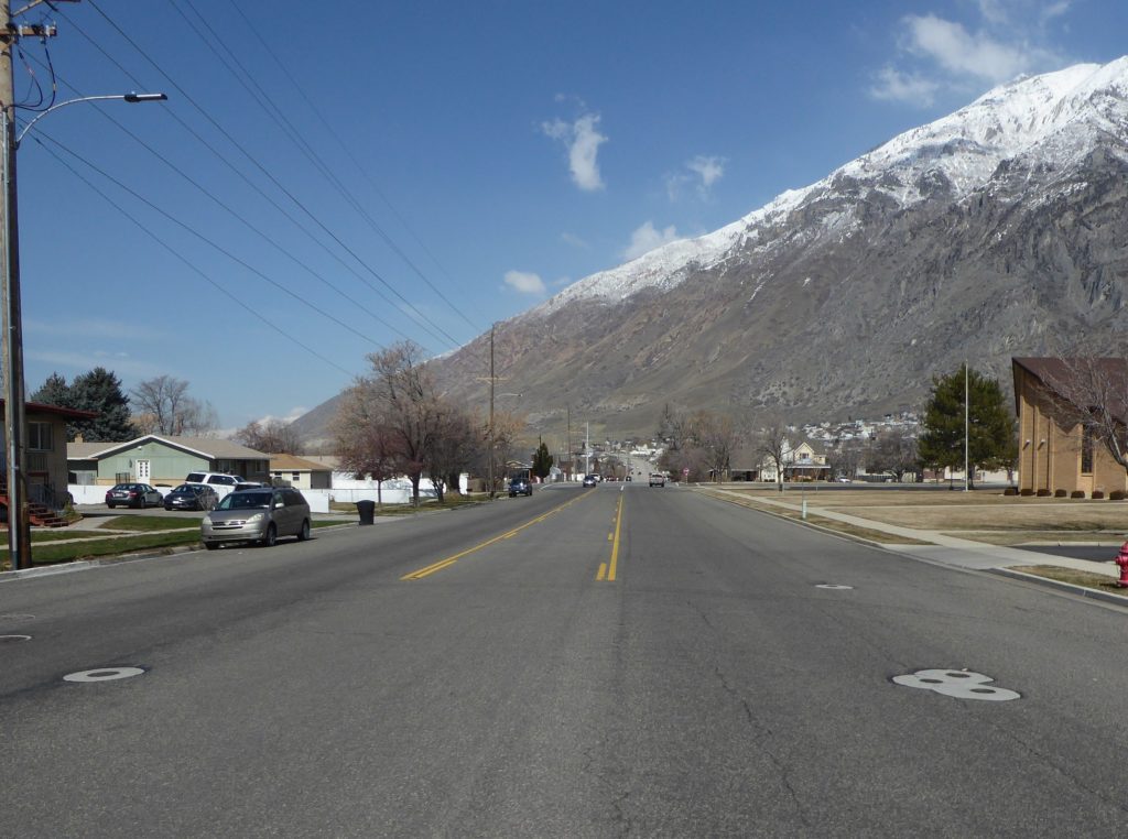
The final segment we proposed was the 1.9 miles of 400 East/Millpond Road/1400 North between 400 South and Main Street. This is a wide street and popular cycling route that will help connect the east side of Springville and provide an alternate route to the northern section of Main Street (which, even with bike lanes, will still be intimidating for some with its 40- and 50-MPH speed limits).
At the conclusion of the presentation we also suggested that early planning efforts be directed to the west side of Center Street and to 400 North, both of which would serve as east-west connectors between various bike lanes, trails, schools, and the downtown area. We then fielded a few questions from interested councilmembers and left feeling optimistic about our chances to get these projects funded. Hopefully we will get good news on this front soon!